Walking routes and pathspaths
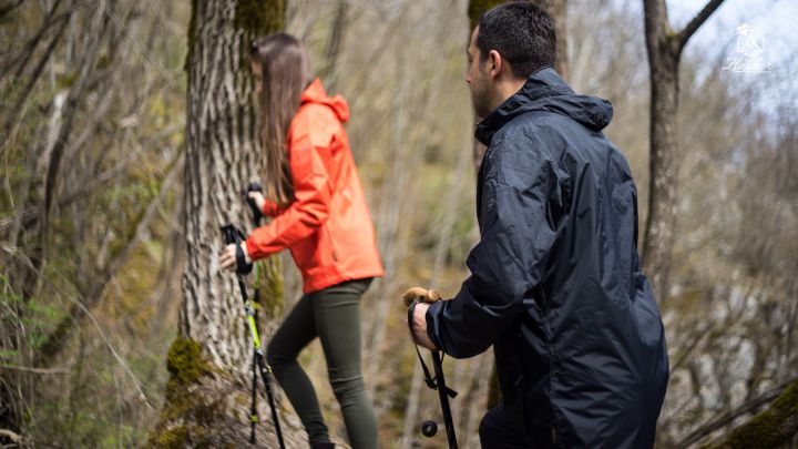
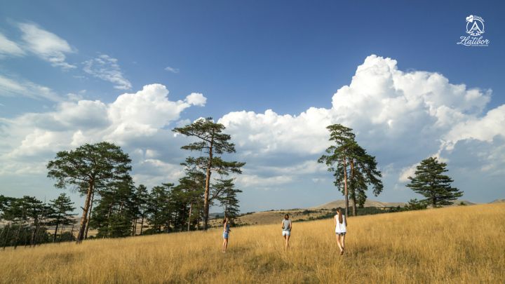
 What Zlatibor is famous for and what majority of guests enjoy most are walks around Zlatibor. A walk as a cyclic movement is one of rare phisical activities that can be performed by everybody. The benefit of walking can be experienced by every child, every person engaged in recreation as well as top athlete.

Numerous lanes and pathways across meadows and through the woods are suitable for walks of all intensities. In the very tourist centre it is possible to make cruise walks, families with babies and little children in children carriages. The most famous arranged walking path is without any doubt the one leading from the centre to the Monument and it is a favourite one for most of the guests.
KAMALJ path
Kamalj is a path for easy walking intended for recreatives and beginners. A walk along this path is ideal for the body to get used to pure mountain air.
Users:
This path has got nearly no ups and downs and is suitable for beginners, it does not lead to increased blood pressure and it is suitable for people who recovering from illness and injury.
Route: the path starts near the Čigota Institute.
General characteristics
The length and duration: The trail can be crossed in about 25 minutes and it is 1600 m long in both directions (departure and return).
Geographic point: starting point is near the Institute Čigota.
Surface: Well-formed natural path / dirt road.
MONUMENT path
This path is a typical path of the ascent and the top which should be reached and the view that spreads over the whole Zlatibor and its surroundings. There is a continuous rise of 10%, and the highest rise reaches up to 20%.
Users: It is intended for prepared and active athletes ready for the grueling ascent.
Route: the path starts near the Čigota Institute.
General characteristics
With increasing ascent, zigzag climbing is recommended. For the return visitors can use routes through the right and left copse which are covered by forests and vegetation.
The length and duration: The total length of the track in both directions is 3 km, with an altitude difference of 90 m.
Geographic point: The starting point is near the Institute Čigota.
Surface: Well-formed natural path.
 Path JEDINI BOR (the only pine tree)
Health path can take you less than an hour of brisk walking. The path is long 7.3 km in both directions.
Users: It is intended for people in good shape and athletes.
The route: It starts near the Čigota Institute.
General characteristics: With increasing ascent, zig-zag climbing is recommended. For the return visitors can use routes through the right and left copse which are covered by forests and vegetation.
 Length and duration: When we start this path we use the pathway through the Right forest to go towards the Monument. The altitude is 107m with an average gradient of 27%.
Total length of the path is 7.3 km in both directions.
The altitude difference is 107 m.
Geographic point: The starting point is near the Institute Čigota.
Surface: Well-formed natural paths.
 ČIGOTA path
This path is a real challenge. From the top Čigota view stretches to surrounding mountains: Maljen, Povljen, Ovčar i Kablar.
Users: It is intended for experienced hikers, athletes and people in good physical condition.
General characteristics
Length and duration: The path can be walked through in about 3 hours. Its length is 11,2 km in both directions.
Geographic point: Starting point is near the Čigota Institute.
Surface: Well-formed natural path.


